Two changes, a short walk, and a stop you have never heard of. On a map it all makes sense in a second. Open any trip in KRAIL, tap Maps, and see the whole thing laid out in front of you.
Tap Maps on your trip
Search your trip and tap one of the options to open it up. You will see a Maps button. Tap it and the trip fills the screen.
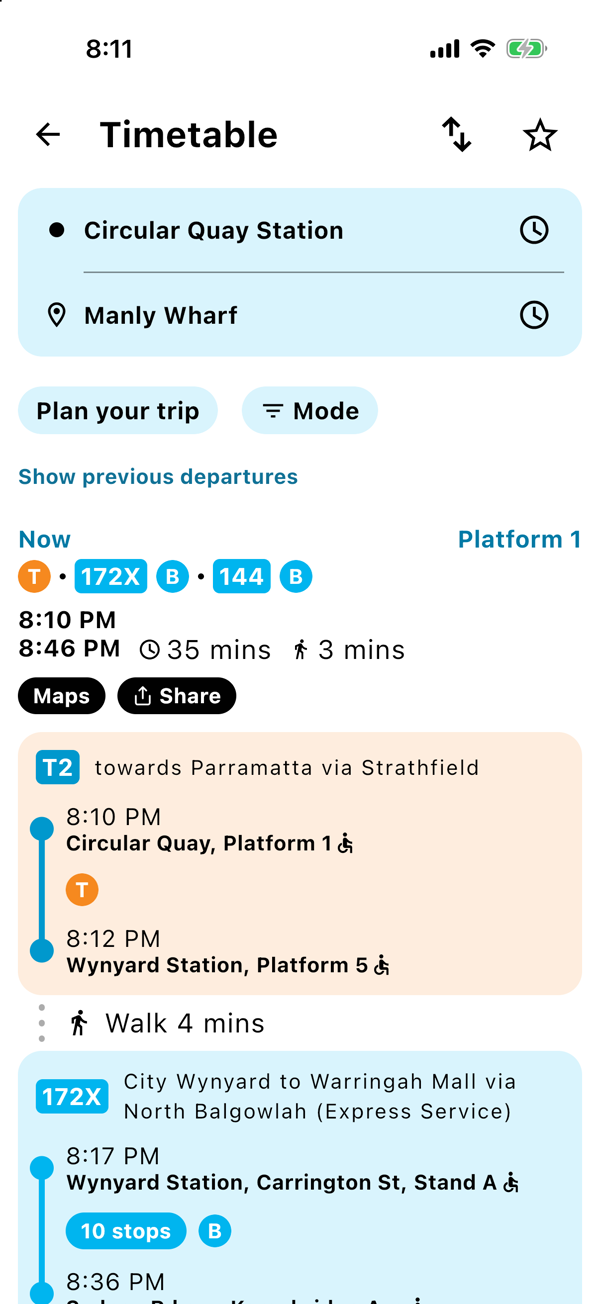
What the lines mean
- Every train, metro, bus, ferry or light rail part of the trip is drawn as a solid line in that line's own colour, following the real route it takes.
- The bits where you walk are a dashed grey line, so you can see exactly how far you are going on foot.
- Your start, your finish and every place you change are marked, and the stops in between are small white dots.
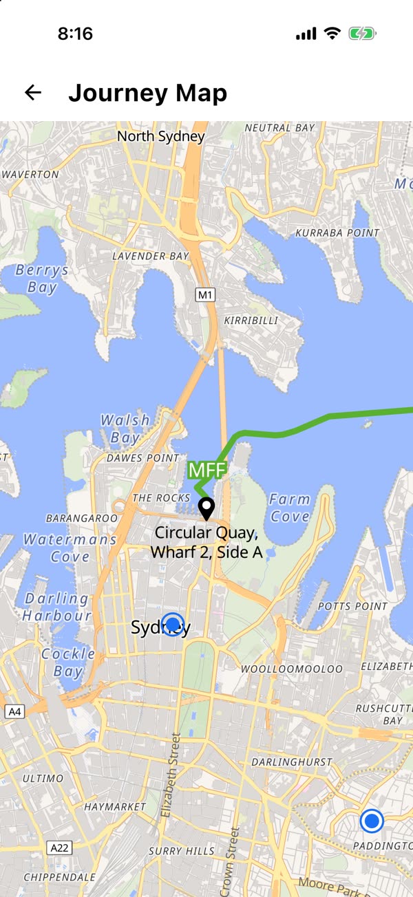
Tap a stop for its times
Tap any stop on the map and you get the time you arrive there or leave from there. Handy when you want to know exactly when you will be at each stop along the way.
Tap the location button and the map shows where you are, which is great when you have just stepped off somewhere new and want to know which way to walk.
Good to know
- On a tablet or a foldable, the map sits right next to your times the whole time, no button needed.
- The map needs a data connection to draw the streets.
Previous
Check Sydney Park & Ride spaces before you leave
Next
Save your Sydney commute, open it in one tap
Save your trip once.
The next departure is one tap away, every morning.